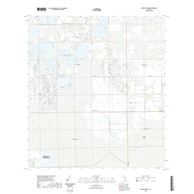
2021 Map of Corkscrew NW
USGS Topo · Published 2021About this map
Corkscrew Swamp dominates the southeastern reaches of this landscape, marking the transition from the expanding residential developments of Lee County into the protected wetlands of Collier County. The map captures a moment of significant suburban expansion, where new communities like Estero and the northern outskirts of Bonita Springs are defined by winding residential networks such as Bella Terra Blvd and Corkscrew Shores Blvd.
Find a feature on this map
46 named features on this map. Tap any name to fly to it.
Don’t see what you’re looking for? This feature index may not catch every label — zoom into the map to look around manually.
Map Details
Editions of this 2021 Corkscrew NW Map
This is the sole edition of this map. No revisions or reprints were ever made.
Other maps of this area

1956 · West Palm Beach
USGS Topo · 1:250,000

1957 · West Palm Beach
USGS Topo · 1:250,000

1958 · West Palm Beach
USGS Topo · 1:250,000

1958 · Corkscrew SE
USGS Topo · 1:24,000

1958 · Bonita Springs
USGS Topo · 1:24,000

1958 · Corkscrew NW
USGS Topo · 1:24,000

1958 · Estero
USGS Topo · 1:24,000

1958 · Alva SW
USGS Topo · 1:24,000

1958 · Corkscrew SW
USGS Topo · 1:24,000

1958 · Alva SE
USGS Topo · 1:24,000