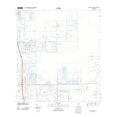
2012 Map of Corkscrew SW
USGS Topo · Published 2012About this map
Imperial River winds through the landscape as residential development moves eastward into Lee County's wetlands and pine flatwoods. This 2012 survey documents the transition from open land toward organized suburban planning, evidenced by the emerging street grids of Citrus Park Blvd and the expanding network of residential lanes like Pondview Cir and Williston Way. The local economy and recreational culture are anchored by major facilities such as the Boca Lago Golf Course and the Miami Springs City Golf Course, which serve as significant landmarks amidst the growing neighborhoods.
Find a feature on this map
92 named features on this map. Tap any name to fly to it.
Don’t see what you’re looking for? This feature index may not catch every label — zoom into the map to look around manually.
Map Details
Editions of this 2012 Corkscrew SW Map
This is the sole edition of this map. No revisions or reprints were ever made.
Other maps of this area

1956 · West Palm Beach
USGS Topo · 1:250,000

1957 · West Palm Beach
USGS Topo · 1:250,000

1958 · West Palm Beach
USGS Topo · 1:250,000

1958 · Corkscrew SE
USGS Topo · 1:24,000

1958 · Bonita Springs
USGS Topo · 1:24,000

1958 · Corkscrew NW
USGS Topo · 1:24,000

1958 · Estero
USGS Topo · 1:24,000

1958 · Belle Meade NE
USGS Topo · 1:24,000

1958 · Belle Meade NW
USGS Topo · 1:24,000

1958 · Corkscrew SW
USGS Topo · 1:24,000