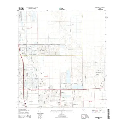
2015 Map of Corkscrew SW
USGS Topo · Published 2015About this map
The Lee Co Collier Co boundary line runs through this developing corridor of Southwest Florida, illustrating the transition from agricultural citrus lands to planned residential communities. To the northwest, the citrus-growing history of the region is evident in roads like Citrus Park Blvd and Citrus Blossom Trl. The Imperial River meanders through the landscape, providing a natural contrast to the grid-like development of Hunters Ridge Blvd and Village Walk Cir. Modern institutional growth is anchored by Hodges Univ, while man-made water features like Jasmine Lake Ct and Crystal Lake Dr reflect the intensive land engineering required to support the area's suburban expansion in the early 21st century.
Find a feature on this map
172 named features on this map. Tap any name to fly to it.
Don’t see what you’re looking for? This feature index may not catch every label — zoom into the map to look around manually.
Map Details
Editions of this 2015 Corkscrew SW Map
This is the sole edition of this map. No revisions or reprints were ever made.
Other maps of this area

1956 · West Palm Beach
USGS Topo · 1:250,000

1957 · West Palm Beach
USGS Topo · 1:250,000

1958 · West Palm Beach
USGS Topo · 1:250,000

1958 · Corkscrew SE
USGS Topo · 1:24,000

1958 · Bonita Springs
USGS Topo · 1:24,000

1958 · Corkscrew NW
USGS Topo · 1:24,000

1958 · Estero
USGS Topo · 1:24,000

1958 · Belle Meade NE
USGS Topo · 1:24,000

1958 · Belle Meade NW
USGS Topo · 1:24,000

1958 · Corkscrew SW
USGS Topo · 1:24,000