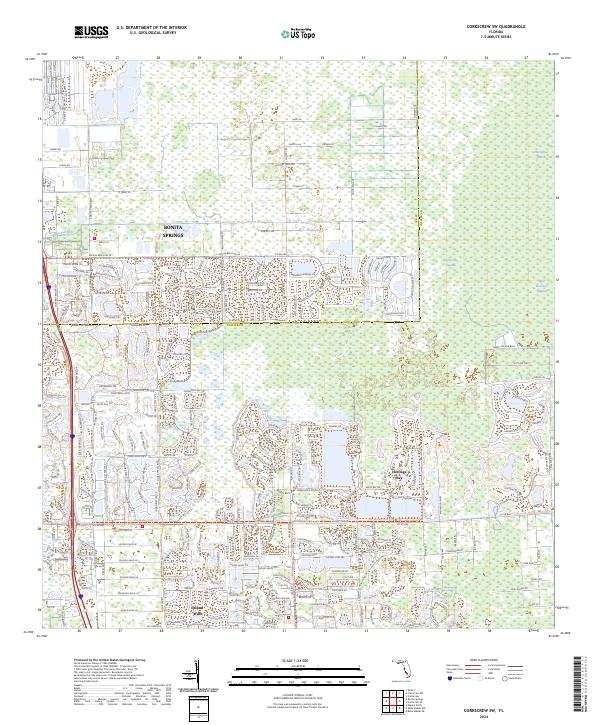
2024 Map of Corkscrew SW
USGS Topo · Published 2024About this map
Bonita Springs anchor this portion of the Florida Gulf Coast, where rapid suburban development meets the sprawling ecological networks of the Everglades. The map illustrates a dense mosaic of planned residential communities and commercial centers, such as Island Walk, defined by intricate water-retention systems and winding drives like Bonita Landing Cir. This modern landscape is bisected by the Imperial River, which serves as a natural transition point between the residential expansion and the vast conservation areas to the east. The eastern half of the sheet is dominated by the wilder reaches of the Corkscrew Swamp and the Bird Rookery Swamp, offering a stark contrast to the nearby urban grid. In the north, Horseshoe Marsh and the scattered clearings along Dewey Rd and Tower Rd show the persistent footprint of older rural access roads amidst the growing coastal population centers of the Lee and Collier County line.
Find a feature on this map
184 named features on this map. Tap any name to fly to it.
Don’t see what you’re looking for? This feature index may not catch every label — zoom into the map to look around manually.
Map Details
Editions of this 2024 Corkscrew SW Map
This is the sole edition of this map. No revisions or reprints were ever made.
Other maps of this area

1956 · West Palm Beach
USGS Topo · 1:250,000

1957 · West Palm Beach
USGS Topo · 1:250,000

1958 · West Palm Beach
USGS Topo · 1:250,000

1958 · Corkscrew SE
USGS Topo · 1:24,000

1958 · Bonita Springs
USGS Topo · 1:24,000

1958 · Corkscrew NW
USGS Topo · 1:24,000

1958 · Estero
USGS Topo · 1:24,000

1958 · Belle Meade NE
USGS Topo · 1:24,000

1958 · Belle Meade NW
USGS Topo · 1:24,000

1958 · Corkscrew SW
USGS Topo · 1:24,000
Featured Places
- Hunters Ridge, FL
- Bonita National Golf & Country Club, FL
- Morton Grove, FL
- Worthington Country Club, FL
- Valencia Bonita, FL