
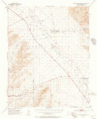
1952 Map of Corn Creek Springs
USGS Topo · Published 1953About this map
Corn Creek Springs and the surrounding Las Vegas Valley are shown here as they existed in the early 1950s, a period when the area served as a critical hub for water and wildlife management. The map details the National Fish and Wildlife Service Hdqrs near the springs, which supported local life in this arid environment. Significant infrastructure is evident in the Dismantled Railroad cutting across the valley floor and the presence of an Irrigation Ditch near Tule Springs Ranch, reflecting the transition from early industrial transit to agricultural and conservation uses.
Find a feature on this map
25 named features on this map. Tap any name to fly to it.
Don’t see what you’re looking for? This feature index may not catch every label — zoom into the map to look around manually.
Map Details
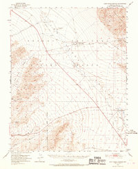
Editions of this 1952 Corn Creek Springs Map
3 editions found
Other maps of this area

1907 · Las Vegas
USGS Topo · 1:250,000

1908 · Las Vegas
USGS Topo · 1:250,000

1942 · Indian Spring
USGS Topo · 1:125,000

1945 · Sheep Range
USGS Topo · 1:125,000

1952 · Gass Peak
USGS Topo · 1:62,500

1952 · Blue Diamond
USGS Topo · 1:62,500

1952 · Las Vegas
USGS Topo · 1:62,500

1954 · Las Vegas
USGS Topo · 1:250,000

1957 · Las Vegas
USGS Topo · 1:250,000

1957 · Charleston Peak
USGS Topo · 1:62,500