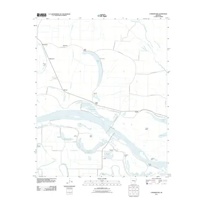
2011 Map of Cornerstone
USGS Topo · Published 2011About this map
Cornerstone and its surrounding agricultural lands are defined by the winding course of the Arkansas River and its intricate network of bayous and oxbow lakes. In this riverine landscape, small settlements like Sweden, Richardson, and Elmwood are situated among fertile bottoms crossed by Castor Bayou and Kings Bayou. The map reveals a high density of rural cemeteries, including Morning Star Cemetery, Elam Cemetery, and Saint Paul Cemetery, which often serve as the primary markers of local family history and vanished community centers.
Find a feature on this map
54 named features on this map. Tap any name to fly to it.
Don’t see what you’re looking for? This feature index may not catch every label — zoom into the map to look around manually.
Map Details
Editions of this 2011 Cornerstone Map
This is the sole edition of this map. No revisions or reprints were ever made.
Other maps of this area

1935 · Altheimer
USGS Topo · 1:62,500

1935 · Varner
USGS Topo · 1:62,500

1935 · Noble Lake
USGS Topo · 1:62,500

1941 · Goldman
USGS Topo · 1:62,500

1948 · Helena
USGS Topo · 1:250,000

1950 · Helena
USGS Topo · 1:250,000

1955 · Helena
USGS Topo · 1:250,000

1959 · Helena
USGS Topo · 1:250,000

1960 · Helena
USGS Topo · 1:250,000
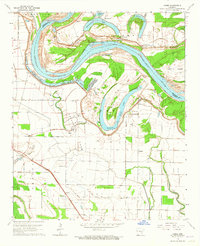
1964 · Cades
USGS Topo · 1:24,000