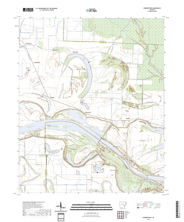
2024 Map of Cornerstone
USGS Topo · Published 2024About this map
The Arkansas River winds through this landscape on the border of Jefferson, Arkansas, and Lincoln counties, defining a region where the water has shaped both the land and its history. The presence of the Greenback Ferry across the river highlights a time when local transport relied on these vital crossings. The map reveals a dense network of oxbow lakes and bayous, such as the prominent horseshoe of Swan Lake and the complex channels of Little Bayou Meto and Castor Bayou. These water features create natural boundaries for settlements like Cornerstone, English, and Sweden. Numerous local burial grounds, including Morning Star Cem, Saint Paul Cem, and Wynn Cem, provide a spatial record of the communities that have long inhabited these riverbanks and islands, such as Cooper Island and Huffs Island.
Find a feature on this map
69 named features on this map. Tap any name to fly to it.
Don’t see what you’re looking for? This feature index may not catch every label — zoom into the map to look around manually.
Map Details
Editions of this 2024 Cornerstone Map
This is the sole edition of this map. No revisions or reprints were ever made.
Other maps of this area

1935 · Altheimer
USGS Topo · 1:62,500

1935 · Varner
USGS Topo · 1:62,500

1935 · Noble Lake
USGS Topo · 1:62,500

1941 · Goldman
USGS Topo · 1:62,500

1948 · Helena
USGS Topo · 1:250,000

1950 · Helena
USGS Topo · 1:250,000

1955 · Helena
USGS Topo · 1:250,000

1959 · Helena
USGS Topo · 1:250,000

1960 · Helena
USGS Topo · 1:250,000
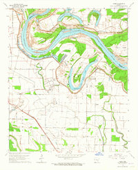
1964 · Cades
USGS Topo · 1:24,000