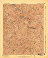
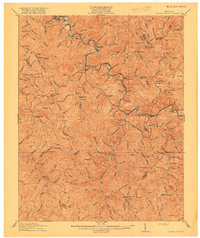
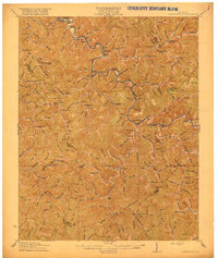
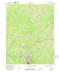
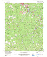
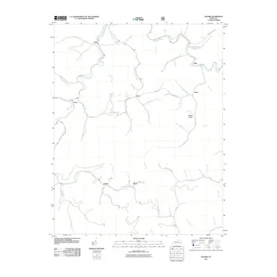
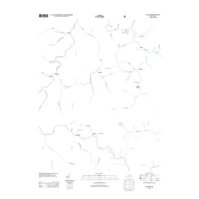
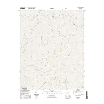
1916 Map of Cornettsville
USGS Topo · Published 1932About this map
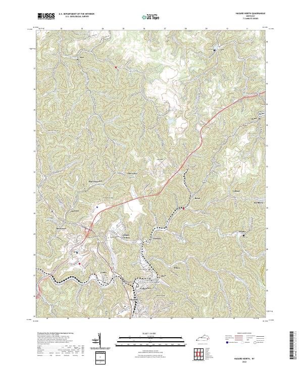
Hazard and the surrounding coal country of Perry County are shown here during a period of industrial expansion along the L & N RR. The North Fork of the Kentucky River serves as the primary corridor for transportation and settlement, connecting hubs like Viper, Jeff, and Cornettsville. Away from the rail lines, the landscape is defined by an intricate network of narrow hollows and creeks such as Leatherwood Creek and Clover Fork. The map reveals a highly localized social geography, marked by numerous numbered schoolhouses—from School No 10 to School No 12—and named community institutions like Redoak School and Race Fork School. Personal landmarks like Owens Cabin and small settlements such as Slemp, Sassafras, and Delphia illustrate the dense human footprint within the steep terrain of the Kentucky River headwaters.
Find a feature on this map
104 named features on this map. Tap any name to fly to it.
Don’t see what you’re looking for? This feature index may not catch every label — zoom into the map to look around manually.
Map Details
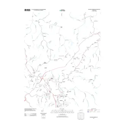
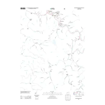
Editions of this 1916 Cornettsville Map
3 editions found
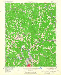
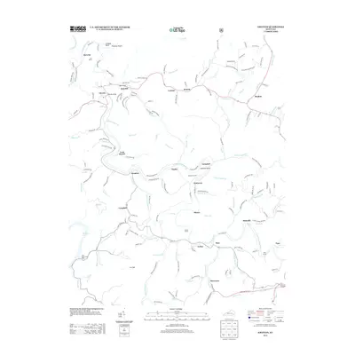
Historical Maps of Hazard Through Time
31 maps found
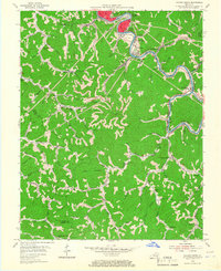
1916 Cornettsville
Perry County, KY
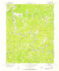
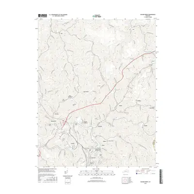
1954 Hazard North
Perry County, KY
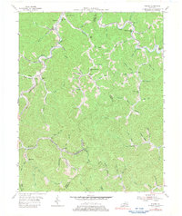
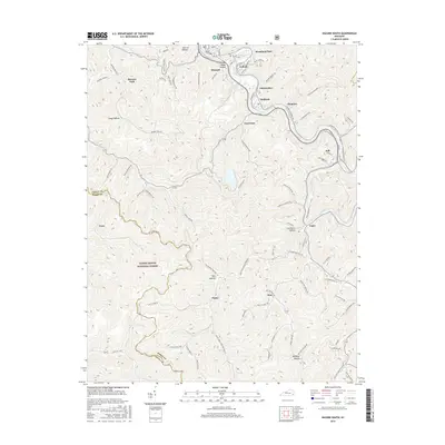
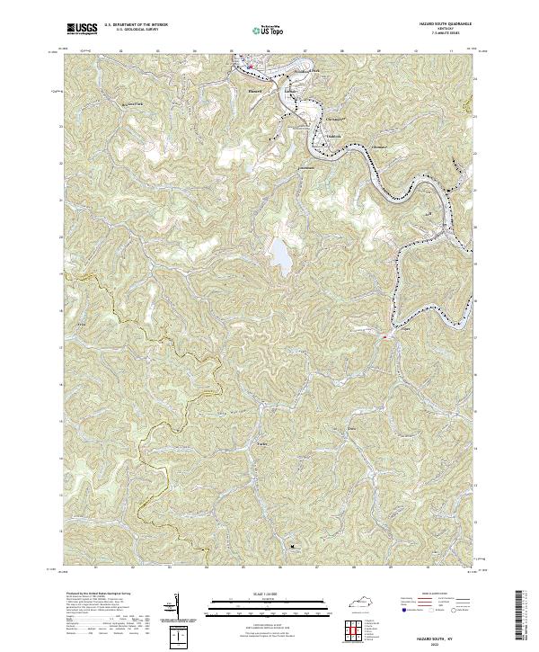
1954 Hazard South
Perry County, KY
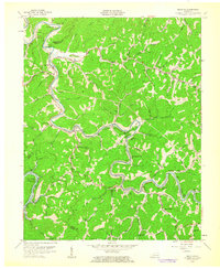
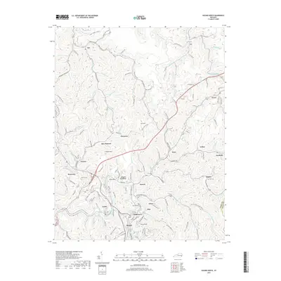
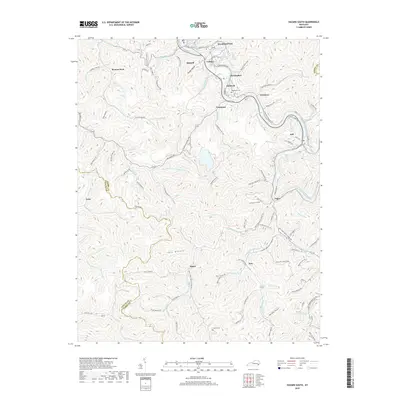
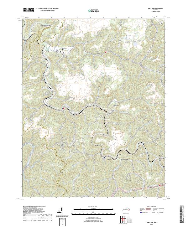
1954 Krypton
Perry County, KY
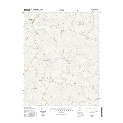
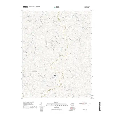
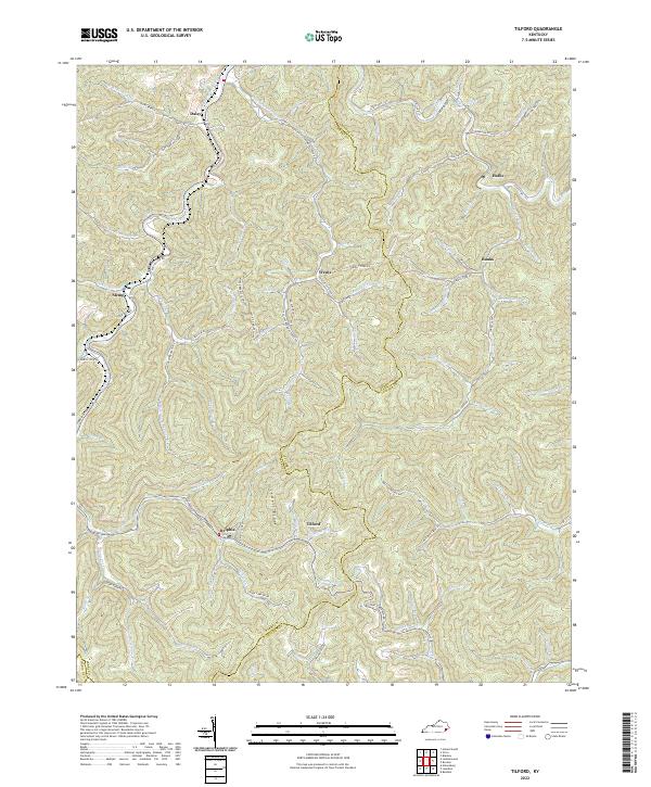
1954 Tilford
Perry County, KY
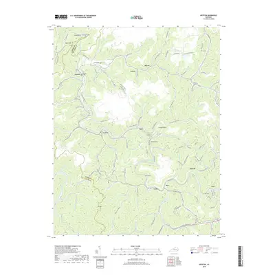
1961 Krypton
Perry County, KY
1972 Hazard North
Perry County, KY
1972 Hazard South
Perry County, KY
1972 Krypton
Perry County, KY
1992 Hazard North
Perry County, KY
1992 Hazard South
Perry County, KY
2010 Hazard North
Perry County, KY
2011 Hazard South
Perry County, KY
2011 Krypton
Perry County, KY
2011 Tilford
Perry County, KY
2013 Hazard North
Perry County, KY
2013 Hazard South
Perry County, KY
2013 Krypton
Perry County, KY
2013 Tilford
Perry County, KY
2016 Hazard North
Perry County, KY
2016 Hazard South
Perry County, KY
2016 Krypton
Perry County, KY
2016 Tilford
Perry County, KY
2019 Hazard North
Perry County, KY
2019 Hazard South
Perry County, KY
2019 Krypton
Perry County, KY
2019 Tilford
Perry County, KY
2022 Hazard North
Perry County, KY
2022 Hazard South
Perry County, KY
2022 Krypton
Perry County, KY
2022 Tilford
Perry County, KY