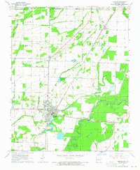
1964 Map of Corning
USGS Topo · Published 1965About this map
Corning sits at the heart of this mid-1960s landscape, serving as a hub where the Missouri Pacific railroad meets the meandering Black River. The survey captures the complex drainage systems of Clay County, defined by a network of engineered waterways like Byrnes Ditch and Townsend Ditch that weave through agricultural sections named Brown, Thomas, and Cleveland. Local history is preserved in the numerous country churches and burial grounds scattered throughout the rural sections, including Pleasant Grove Ch and Allmandinger Cem.
Find a feature on this map
46 named features on this map. Tap any name to fly to it.
Don’t see what you’re looking for? This feature index may not catch every label — zoom into the map to look around manually.
Map Details
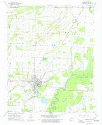
Editions of this 1964 Corning Map
2 editions found
Other maps of this area

1935 · Acorn
USGS Topo · 1:62,500

1935 · Rector
USGS Topo · 1:62,500

1935 · Knobel
USGS Topo · 1:62,500

1935 · Harviell
USGS Topo · 1:62,500

1940 · Naylor
USGS Topo · 1:62,500

1941 · Knobel
USGS Topo · 1:62,500

1944 · Naylor
USGS Topo · 1:62,500

1957 · Poplar Bluff
USGS Topo · 1:250,000

1958 · Rector
USGS Topo · 1:62,500

1959 · Poplar Bluff
USGS Topo · 1:250,000