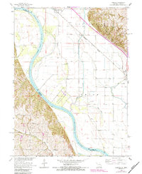
1966 Map of Corning
USGS Topo · Published 1984About this map
The Missouri River and its shifting floodplain define this landscape on the border of Missouri and Nebraska, where the Tarkio River and Winnebago Creek navigate the alluvial flats. This 1966 survey, updated with 1980s data, shows the area's agricultural and social infrastructure centered around the town of Corning and the village of Craig. The map illustrates the complex drainage and irrigation patterns of the bottomlands, including an Old Channel and Sams Lake.
Find a feature on this map
30 named features on this map. Tap any name to fly to it.
Don’t see what you’re looking for? This feature index may not catch every label — zoom into the map to look around manually.
Map Details
Editions of this 1966 Corning Map
2 editions found
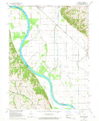
Other maps of this area

1915 · Falls City
USGS Topo · 1:62,500

1915 · Nemaha
USGS Topo · 1:62,500

1920 · Craig
USGS Topo · 1:62,500

1936 · Fairfax
USGS Topo · 1:24,000

1939 · Tarkio
USGS Topo · 1:62,500

1939 · Nemaha
USGS Topo · 1:62,500

1940 · Tarkio
USGS Topo · 1:62,500

1941 · Tarkio
USGS Topo · 1:62,500

1949 · Nemaha
USGS Topo · 1:62,500

1955 · Nebraska City
USGS Topo · 1:250,000