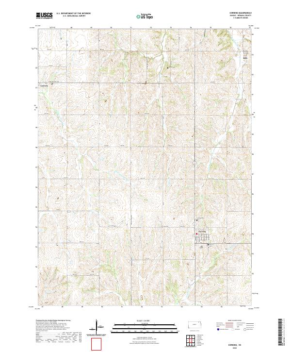
2022 Map of Corning
USGS Topo · Published 2022About this map
The town of Corning sits at a geographic crossroads in Nemaha County, where the southern plains topography is defined by the headwaters and tributaries of several prominent regional waterways. The drainage patterns here are complex, featuring the S Fork Big Nemaha River flowing toward the northeast, while the Black Vermillion River and Vermillion Cr carve paths through the western and southern reaches of the quadrangle. This hydrography created a fertile landscape that supported the early 21st-century agricultural grid, visible in the dense network of rural roads like Nightengale Tpke and Old Nine Hwy.
Find a feature on this map
39 named features on this map. Tap any name to fly to it.
Don’t see what you’re looking for? This feature index may not catch every label — zoom into the map to look around manually.
Map Details
Editions of this 2022 Corning Map
This is the sole edition of this map. No revisions or reprints were ever made.
Other maps of this area

1888 · Hiawatha
USGS Topo · 1:125,000

1889 · Seneca
USGS Topo · 1:125,000

1894 · Seneca
USGS Topo · 1:125,000

1894 · Hiawatha
USGS Topo · 1:125,000

1950 · Kansas City
USGS Topo · 1:250,000

1954 · Kansas City
USGS Topo · 1:250,000

1955 · Manhattan
USGS Topo · 1:250,000

1956 · Manhattan
USGS Topo · 1:250,000

1956 · Kansas City
USGS Topo · 1:250,000

1957 · Manhattan
USGS Topo · 1:250,000