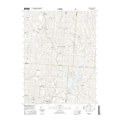
2016 Map of Corning
USGS Topo · Published 2016About this map
Sunday Creek and its many branches, including the West Branch Sunday Creek and East Branch Sunday Creek, dictate the settlement patterns of this corner of the Appalachian Plateau. The industrial legacy of the region is evident in features like the Sunday Creek Coal Company Pond, while modern conservation and recreation are represented by the extensive Wayne National Forest and the Wildcat Hollow Hiking Trail.
Find a feature on this map
139 named features on this map. Tap any name to fly to it.
Don’t see what you’re looking for? This feature index may not catch every label — zoom into the map to look around manually.
Map Details
Editions of this 2016 Corning Map
This is the sole edition of this map. No revisions or reprints were ever made.
Other maps of this area

1903 · Athens
USGS Topo · 1:62,500

1904 · Chesterhill
USGS Topo · 1:62,500

1905 · Athens
USGS Topo · 1:62,500

1906 · Chesterhill
USGS Topo · 1:62,500

1910 · Mc Connelsville
USGS Topo · 1:62,500

1911 · New Lexington
USGS Topo · 1:62,500

1947 · Columbus
USGS Topo · 1:250,000

1949 · Clarksburg
USGS Topo · 1:250,000

1956 · Clarksburg
USGS Topo · 1:250,000

1960 · Amesville
USGS Topo · 1:24,000