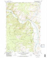
1975 Map of Cornish Gulch
USGS Topo · Published 1978About this map
Deerlodge National Forest encompasses the majority of this mid-1970s landscape, where the Sapphire Mountains rise sharply above a dense network of drainages. The area is defined by its deep alpine gulches, ranging from the prominent Cornish Gulch and Ginger Gulch to the complex systems of the North and South Forks. Early industrial activity is visible at the Silver King Mine and through various prospects scattered near Quartz Gulch, indicating the mineral interests that shaped this portion of Granite County. Transportation through this terrain is limited to isolated crossings like Gillies Bridge and a network of jeep trails and the Spring Trail. The drainage patterns are particularly intricate, with Rock Creek and its many tributaries, including Stony Creek and Sluice Gulch, carving through the timbered slopes and reaching prominent peaks like Ram Mountain.
Find a feature on this map
49 named features on this map. Tap any name to fly to it.
Don’t see what you’re looking for? This feature index may not catch every label — zoom into the map to look around manually.
Map Details
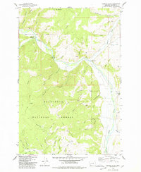
Editions of this 1975 Cornish Gulch Map
2 editions found
Other maps of this area

1908 · Philipsburg
USGS Topo · 1:125,000

1909 · Sapphire
USGS Topo · 1:125,000

1947 · Butte
USGS Topo · 1:250,000

1958 · Butte
USGS Topo · 1:250,000

1960 · Butte
USGS Topo · 1:250,000

1962 · Butte
USGS Topo · 1:250,000

1971 · Antelope Creek
USGS Topo · 1:24,000

1971 · Potato Lakes
USGS Topo · 1:24,000
1971 · Black Pine Ridge
USGS Topo · 1:24,000

1971 · Stony Creek
USGS Topo · 1:24,000