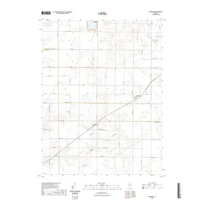
2021 Map of Cornland
USGS Topo · Published 2021About this map
Buffalo Hart and Cornland anchor this Central Illinois landscape, where the prairie topography is defined by the winding course of Lake Fork and N Fork Clear Cr. The settlement pattern reflects the enduring agricultural heritage of the border between Logan and Sangamon counties, organized by a rigid grid of rural routes such as Co Rd 500 N and Co Hwy 48. A concentrated history of early settlement is visible through numerous burial grounds, including the centrally located Constant Cem and Cass Cem. To the south, Buffalo Grove Cem stands near the headwaters of the local drainage system. The map also captures the outskirts of Elkhart in the north, providing a clear record of the modern road network and property boundaries that have shaped this farming region for generations.
Find a feature on this map
43 named features on this map. Tap any name to fly to it.
Don’t see what you’re looking for? This feature index may not catch every label — zoom into the map to look around manually.
Map Details
Editions of this 2021 Cornland Map
This is the sole edition of this map. No revisions or reprints were ever made.
Other maps of this area

1907 · Springfield
USGS Topo · 1:62,500

1911 · Lincoln
USGS Topo · 1:62,500

1913 · Lincoln
USGS Topo · 1:62,500

1930 · Springfield
USGS Topo · 1:62,500

1940 · Springfield
USGS Topo · 1:62,500

1948 · Mason City
USGS Topo · 1:62,500

1949 · Mason City
USGS Topo · 1:62,500

1950 · Springfield East
USGS Topo · 1:24,000

1954 · Mechanicsburg
USGS Topo · 1:62,500

1958 · Peoria
USGS Topo · 1:250,000