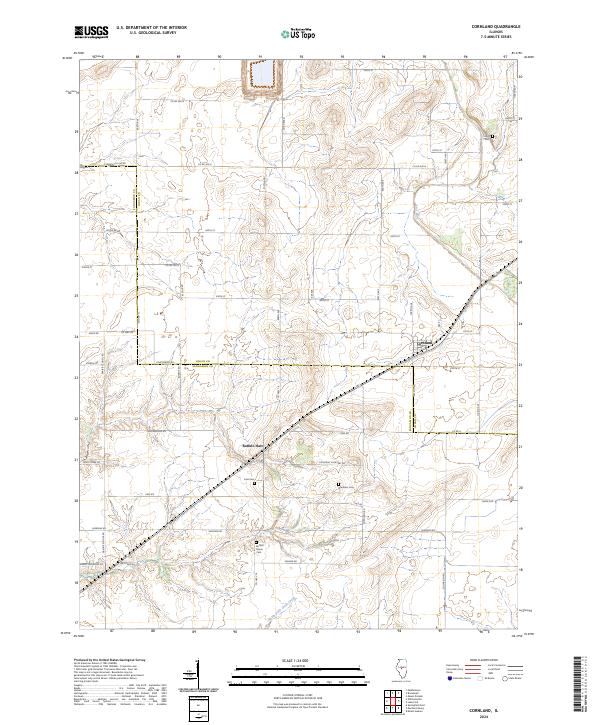
2024 Map of Cornland
USGS Topo · Published 2024About this map
The agricultural divide between Sangamon and Logan counties defines this landscape, where the small settlements of Cornland and Buffalo Hart serve as central points for the surrounding rural communities. The terrain is marked by the winding courses of Lake Fork and North Fork Clear Creek, which break up the geometric precision of the township and range road system. For those tracing family histories in the area, several burial grounds are preserved across the quadrangle, including the Buffalo Grove Cem and Constant Cem. The road network, though modern, still follows historical paths like Prairie School Rd and Constant Cemetery Rd, reflecting the locations of early rural institutions that once anchored these prairie townships. The map illustrates a stable, productive landscape where the legacy of early Illinois settlement remains visible in the names of the creeks and cemeteries that dot the countryside.
Find a feature on this map
56 named features on this map. Tap any name to fly to it.
Don’t see what you’re looking for? This feature index may not catch every label — zoom into the map to look around manually.
Map Details
Editions of this 2024 Cornland Map
This is the sole edition of this map. No revisions or reprints were ever made.
Other maps of this area

1907 · Springfield
USGS Topo · 1:62,500

1911 · Lincoln
USGS Topo · 1:62,500

1913 · Lincoln
USGS Topo · 1:62,500

1930 · Springfield
USGS Topo · 1:62,500

1940 · Springfield
USGS Topo · 1:62,500

1948 · Mason City
USGS Topo · 1:62,500

1949 · Mason City
USGS Topo · 1:62,500

1950 · Springfield East
USGS Topo · 1:24,000

1954 · Mechanicsburg
USGS Topo · 1:62,500

1958 · Peoria
USGS Topo · 1:250,000