Loading...
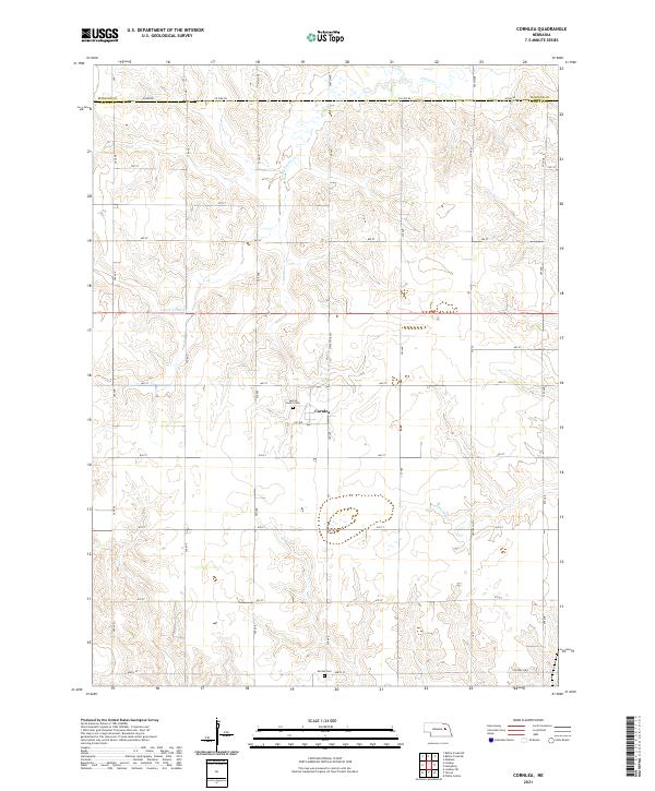
Loading map...2021 Map of Cornlea
USGS Topo · Published 2021About this map
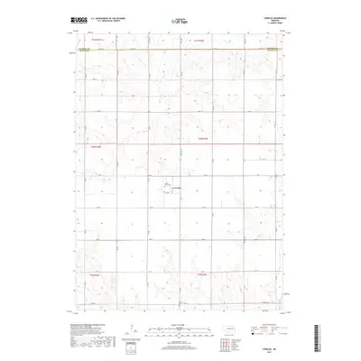
Cornlea sits at the heart of this Platte County landscape, serving as the primary hub within a meticulously organized grid of section roads and agricultural tracts. The township and range boundaries of t20n r2w and t19n r2w structure the terrain, which is naturally defined by a network of local waterways. The winding paths of Union Cr and its S Fork Union Cr drain the northern sections, while Elm Cr and Tracy Cr cut through the southern fields.
Find a feature on this map
36 named features on this map. Tap any name to fly to it.
Don’t see what you’re looking for? This feature index may not catch every label — zoom into the map to look around manually.
Map Details
Date Portrayed2021
Date Published2021
PublisherU.S. Geological Survey
Map TypeTopographic
Scale1:24,000
Physical Dimensions24 x 29 inches
Editions of this 2021 Cornlea Map
This is the sole edition of this map. No revisions or reprints were ever made.
Historical Maps of Cornlea Through Time
5 maps found
Featured Locations
Source Details
SourceU.S. Geological Survey
CopyrightPublic Domain