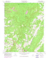
1972 Map of Cornstalk
USGS Topo · Published 1982About this map
Cornstalk and Clintonville anchor this 1970s survey of Greenbrier County, where the transition from high ridgelines to fertile bottomlands defines the local geography. Significant church sites like New Salem Ch and New Bethel Ch are central to the small settlements scattered among the folds of Cross Mountain and Buffalo Mountain. A network of old industrial pathways is visible in the Old Railroad Grade and numerous jeep trails that cross the upland ridges.
Find a feature on this map
54 named features on this map. Tap any name to fly to it.
Don’t see what you’re looking for? This feature index may not catch every label — zoom into the map to look around manually.
Map Details
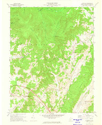
Editions of this 1972 Cornstalk Map
2 editions found
Other maps of this area

1887 · Hinton
USGS Topo · 1:125,000

1887 · Lewisburg
USGS Topo · 1:125,000

1889 · Nicholas
USGS Topo · 1:125,000

1891 · Lewisburg
USGS Topo · 1:125,000

1891 · Nicholas
USGS Topo · 1:125,000

1891 · Huntersville
USGS Topo · 1:125,000

1892 · Hinton
USGS Topo · 1:125,000

1894 · Huntersville
USGS Topo · 1:125,000

1901 · Nicholas
USGS Topo · 1:125,000

1918 · Richwood
USGS Topo · 1:62,500