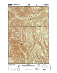
2014 Map of Cornucopia
USGS Topo · Published 2014About this map
Cornucopia sits at the base of the high peaks within the Whitman National Forest, a site defined by its legacy of mountain resource extraction and rugged alpine topography. The landscape is dominated by steep elevation changes, rising from the settlement toward Cornucopia Peak and Granite Mountain. Water management is a primary feature of this terrain, evidenced by a series of high-altitude catchments including East Lakes Reservoir, Clear Cr Reservoir, and Mehlhorn Reservoir.
Find a feature on this map
49 named features on this map. Tap any name to fly to it.
Don’t see what you’re looking for? This feature index may not catch every label — zoom into the map to look around manually.
Map Details
Editions of this 2014 Cornucopia Map
This is the sole edition of this map. No revisions or reprints were ever made.
Other maps of this area

1915 · Pine
USGS Topo · 1:125,000

1954 · Cornucopia
USGS Topo · 1:62,500

1954 · Eagle Cap
USGS Topo · 1:62,500

1955 · Baker
USGS Topo · 1:250,000

1955 · Grangeville
USGS Topo · 1:250,000

1957 · Halfway
USGS Topo · 1:62,500

1957 · Sparta
USGS Topo · 1:62,500

1959 · Baker
USGS Topo · 1:250,000

1959 · Grangeville
USGS Topo · 1:250,000

1981 · Baker
USGS Topo · 1:100,000