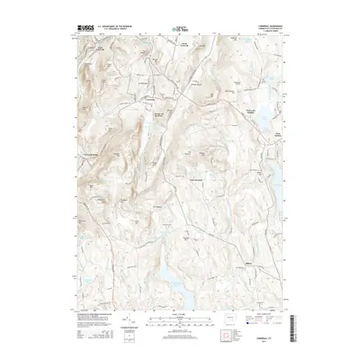
2015 Map of Cornwall
USGS Topo · Published 2015About this map
The Housatonic River carves through the western edge of this Litchfield County landscape, defining a region of steep summits and high-elevation ponds. The settlement pattern is anchored by Cornwall, West Cornwall, and Cornwall Bridge, while the legend-shrouded location of Dudleytown sits isolated on the slopes of Woodbury Mtn. The terrain is remarkably varied, featuring the prominent heights of Mohawk Mtn and Coltsfoot Mtn, which overlook the complex drainage systems of Furnace Brook and the W-Br Shepaug River.
Find a feature on this map
151 named features on this map. Tap any name to fly to it.
Don’t see what you’re looking for? This feature index may not catch every label — zoom into the map to look around manually.
Map Details
Editions of this 2015 Cornwall Map
This is the sole edition of this map. No revisions or reprints were ever made.
Other maps of this area

1892 · Winsted
USGS Topo · 1:62,500

1892 · Cornwall
USGS Topo · 1:62,500

1892 · New Milford
USGS Topo · 1:62,500

1893 · Waterbury
USGS Topo · 1:62,500

1893 · New Milford
USGS Topo · 1:62,500

1893 · Cornwall
USGS Topo · 1:62,500

1903 · Cornwall
USGS Topo · 1:62,500

1904 · New Milford
USGS Topo · 1:62,500

1904 · Waterbury
USGS Topo · 1:62,500

1904 · Litchfield
USGS Topo · 1:125,000