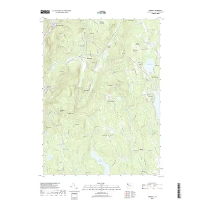
2018 Map of Cornwall
USGS Topo · Published 2018About this map
Housatonic Valley and the surrounding Litchfield County highlands define this 2018 survey, centered on the historic village of Cornwall. The landscape is dominated by steep summits such as Green Mtn, Mohawk Mtn, and the distinctive Pinnacle, with the Housatonic River carving the western edge of the quadrangle. Significant water resources like the Upper Shepaug Reservoir and Tyler Lake are prominent, illustrating the region's role in local water management and recreation.
Find a feature on this map
161 named features on this map. Tap any name to fly to it.
Don’t see what you’re looking for? This feature index may not catch every label — zoom into the map to look around manually.
Map Details
Editions of this 2018 Cornwall Map
This is the sole edition of this map. No revisions or reprints were ever made.
Other maps of this area

1892 · Winsted
USGS Topo · 1:62,500

1892 · Cornwall
USGS Topo · 1:62,500

1892 · New Milford
USGS Topo · 1:62,500

1893 · Waterbury
USGS Topo · 1:62,500

1893 · New Milford
USGS Topo · 1:62,500

1893 · Cornwall
USGS Topo · 1:62,500

1903 · Cornwall
USGS Topo · 1:62,500

1904 · New Milford
USGS Topo · 1:62,500

1904 · Waterbury
USGS Topo · 1:62,500

1904 · Litchfield
USGS Topo · 1:125,000