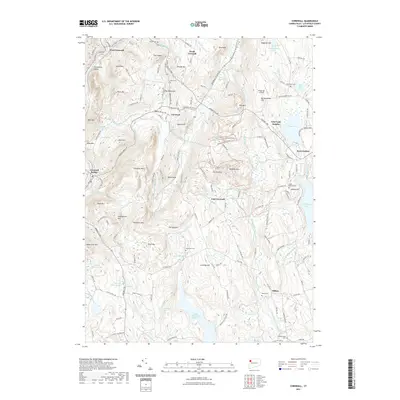
2021 Map of Cornwall
USGS Topo · Published 2021About this map
Housatonic Valley terrain dominates this Litchfield County landscape, where the Housatonic River winds past West Cornwall and Cornwall Bridge. The map reflects a classic New England settlement pattern, with several distinct villages including North Cornwall, East Cornwall, and Milton connected by a network of historic thoroughfares like the Sharon Goshen Tpke. The highlands are characterized by prominent peaks such as Mohawk Mtn and Coltsfoot Mtn, while the southern portion of the sheet is defined by the significant waters of the Upper Shepaug Reservoir. Numerous burial grounds, such as Allen Cem and Wright Cem, provide specific points of interest for genealogical research. The presence of the Mohawk Forest Trl and the Wings Ago Airstrip illustrates the modern mix of conservation and private infrastructure in this rural upland region.
Find a feature on this map
163 named features on this map. Tap any name to fly to it.
Don’t see what you’re looking for? This feature index may not catch every label — zoom into the map to look around manually.
Map Details
Editions of this 2021 Cornwall Map
This is the sole edition of this map. No revisions or reprints were ever made.
Other maps of this area

1892 · Winsted
USGS Topo · 1:62,500

1892 · Cornwall
USGS Topo · 1:62,500

1892 · New Milford
USGS Topo · 1:62,500

1893 · Waterbury
USGS Topo · 1:62,500

1893 · New Milford
USGS Topo · 1:62,500

1893 · Cornwall
USGS Topo · 1:62,500

1903 · Cornwall
USGS Topo · 1:62,500

1904 · New Milford
USGS Topo · 1:62,500

1904 · Waterbury
USGS Topo · 1:62,500

1904 · Litchfield
USGS Topo · 1:125,000