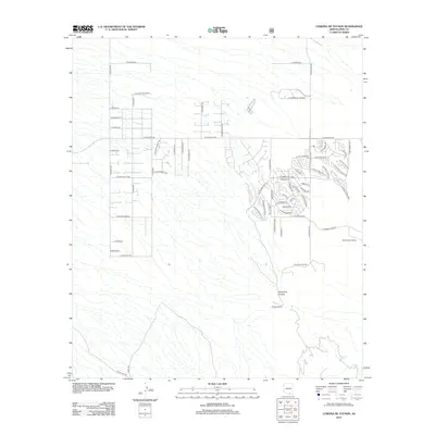
2012 Map of Corona De Tucson
USGS Topo · Published 2012About this map
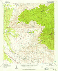
Mount Fagan Ranch and Johnson Ranch sit on the eastern edge of this desert landscape, where the Santa Rita foothills begin to rise out of the basin. The map captures the suburban expansion south of Tucson, showing a grid of residential streets like W Camino De La Reina and E Sahuarita Rd carved into the arid terrain. This development contrasts sharply with the natural features to the southeast, where Sycamore Canyon cuts through the land. The presence of Sycamore Spring and trails like E Ocotillo Rim Trl indicate the transitional nature of the area between organized settlement and the open range. Local navigation is defined by long, straight thoroughfares such as S Wilmot Rd and S Kolb Rd, which connect the growing neighborhoods to the larger regional network.
Find a feature on this map
63 named features on this map. Tap any name to fly to it.
Don’t see what you’re looking for? This feature index may not catch every label — zoom into the map to look around manually.
Map Details
Editions of this 2012 Corona De Tucson Map
This is the sole edition of this map. No revisions or reprints were ever made.
Other maps of this area
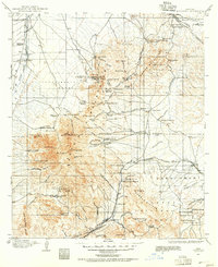
1904 · Patagonia
USGS Topo · 1:125,000
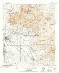
1904 · Tucson
USGS Topo · 1:125,000
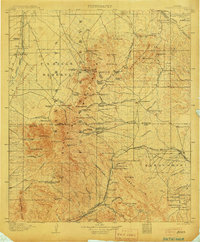
1905 · Patagonia
USGS Topo · 1:125,000
1905 · Tucson
USGS Topo · 1:125,000

1926 · Helvetia
USGS Topo · 1:62,500
1948 · Tucson
USGS Topo · 1:62,500
1956 · Nogales
USGS Topo · 1:250,000

1956 · Tucson
USGS Topo · 1:250,000
1957 · Tucson
USGS Topo · 1:62,500
1957 · Rincon Valley
USGS Topo · 1:62,500