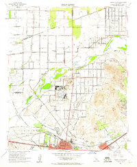
1954 Map of Corona North
USGS Topo · Published 1960About this map
The Santa Ana River carves through the heart of this mid-century landscape, separating the agricultural plains of the north from the emerging residential and military sectors to the south. During this era, the region maintained a strong agrarian character, evidenced by the presence of the Fuller Ranch and Silver Lakes Ranch, even as military infrastructure like the Naval Reservation and its associated Hospital and Ordnance Laboratory established a firm federal footprint. The Prado Flood Control Basin dominates the western view, a critical piece of water management infrastructure for the growing Inland Empire.
Find a feature on this map
55 named features on this map. Tap any name to fly to it.
Don’t see what you’re looking for? This feature index may not catch every label — zoom into the map to look around manually.
Map Details
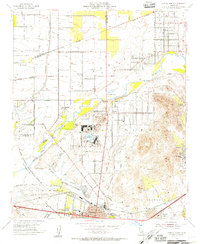
Editions of this 1954 Corona North Map
2 editions found
Other maps of this area

1896 · San Bernardino
USGS Topo · 1:62,500

1897 · Cucamonga
USGS Topo · 1:62,500

1898 · San Bernardino
USGS Topo · 1:62,500

1900 · Cucamonga
USGS Topo · 1:62,500

1901 · Southern California Sheet No. 1
USGS Topo · 1:250,000

1901 · San Bernardino
USGS Topo · 1:62,500

1901 · Elsinore
USGS Topo · 1:125,000

1901 · Riverside
USGS Topo · 1:62,500

1902 · Corona
USGS Topo · 1:125,000

1903 · Cucamonga
USGS Topo · 1:62,500