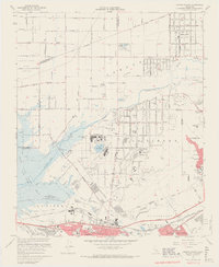
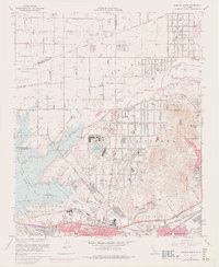
1967 Map of Corona North
USGS Topo · Published 1969About this map
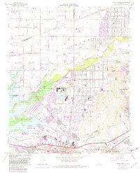
Lake Norconian and the surrounding Naval Reservation anchor the central portion of this late-1960s landscape, bordering the established communities of Norco and Corona. The map reveals a transition from the agricultural heritage of the Santa Ana del Chino grant to mid-century industrial and institutional expansion. Notable facilities include the California Rehabilitation Center and the Corona Municipal Airport, while the Prado Flood Control Basin dominates the southwestern corner, reflecting regional water management efforts along the Santa Ana River. Educational and religious institutions are well-represented, from La Sierra College in the east to numerous local schools like Troth St Sch and St Edward Sch. Transportation networks are clearly defined, featuring the Atchison Topeka and Santa Fe Railroad and the emerging Riverside Freeway, which facilitated the suburban growth of Home Gardens and Mira Loma.
Find a feature on this map
76 named features on this map. Tap any name to fly to it.
Don’t see what you’re looking for? This feature index may not catch every label — zoom into the map to look around manually.
Map Details
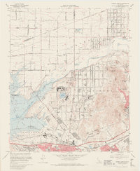
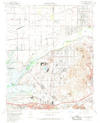
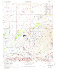
Editions of this 1967 Corona North Map
6 editions found
Other maps of this area

1896 · San Bernardino
USGS Topo · 1:62,500

1897 · Cucamonga
USGS Topo · 1:62,500

1898 · San Bernardino
USGS Topo · 1:62,500

1900 · Cucamonga
USGS Topo · 1:62,500

1901 · Southern California Sheet No. 1
USGS Topo · 1:250,000

1901 · San Bernardino
USGS Topo · 1:62,500

1901 · Elsinore
USGS Topo · 1:125,000

1901 · Riverside
USGS Topo · 1:62,500

1902 · Corona
USGS Topo · 1:125,000

1903 · Cucamonga
USGS Topo · 1:62,500