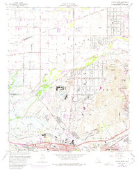
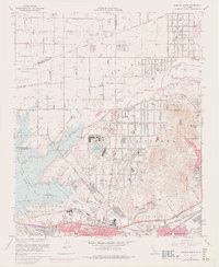
1967 Map of Corona North
USGS Topo · Published 1975About this map
The Santa Ana River carves through this Southern California landscape, serving as a boundary for the growth of Corona and Norco. During this era, the expansion of suburban development is documented by purple-tinted revisions, pushing into former agricultural tracts north of the Riverside Freeway. The California Rehabilitation Center and the extensive Naval Reservation occupy significant acreage near Lake Norconian, while the Prado Flood Control Basin dominates the western topography.
Find a feature on this map
56 named features on this map. Tap any name to fly to it.
Don’t see what you’re looking for? This feature index may not catch every label — zoom into the map to look around manually.
Map Details
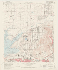
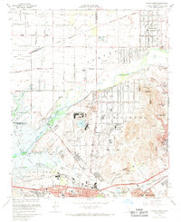
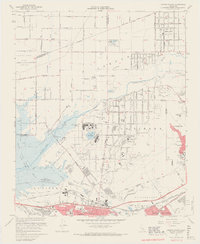
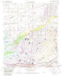
Editions of this 1967 Corona North Map
6 editions found
Other maps of this area

1896 · San Bernardino
USGS Topo · 1:62,500

1897 · Cucamonga
USGS Topo · 1:62,500

1898 · San Bernardino
USGS Topo · 1:62,500

1900 · Cucamonga
USGS Topo · 1:62,500

1901 · Southern California Sheet No. 1
USGS Topo · 1:250,000

1901 · San Bernardino
USGS Topo · 1:62,500

1901 · Elsinore
USGS Topo · 1:125,000

1901 · Riverside
USGS Topo · 1:62,500

1902 · Corona
USGS Topo · 1:125,000

1903 · Cucamonga
USGS Topo · 1:62,500