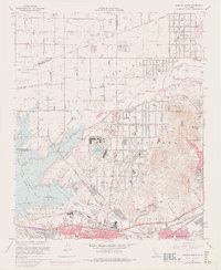
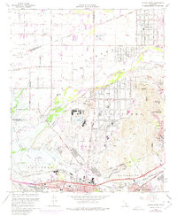
1967 Map of Corona North
USGS Topo · Published 1975About this map
The Santa Ana River valley defines this landscape, separating the burgeoning suburban developments of Norco and Mira Loma from the industrial and transit corridors of Corona. Large institutional tracts dominate the central terrain, including the U S Naval Res and the California Rehabilitation Center surrounding Lake Norconian. These facilities, alongside the Prado Flood Control Basin, suggest a period where large-scale government land use shaped the growth of the Inland Empire before residential infill took complete hold.
Find a feature on this map
51 named features on this map. Tap any name to fly to it.
Don’t see what you’re looking for? This feature index may not catch every label — zoom into the map to look around manually.
Map Details
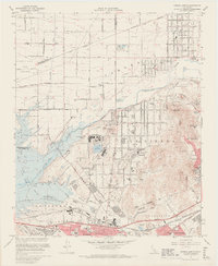
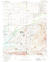
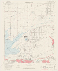
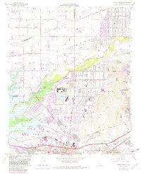
Editions of this 1967 Corona North Map
6 editions found
Other maps of this area

1896 · San Bernardino
USGS Topo · 1:62,500

1897 · Cucamonga
USGS Topo · 1:62,500

1898 · San Bernardino
USGS Topo · 1:62,500

1900 · Cucamonga
USGS Topo · 1:62,500

1901 · Southern California Sheet No. 1
USGS Topo · 1:250,000

1901 · San Bernardino
USGS Topo · 1:62,500

1901 · Elsinore
USGS Topo · 1:125,000

1901 · Riverside
USGS Topo · 1:62,500

1902 · Corona
USGS Topo · 1:125,000

1903 · Cucamonga
USGS Topo · 1:62,500