
1902 Map of Corona
USGS Topo · Published 1902About this map
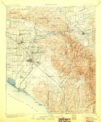
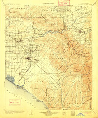
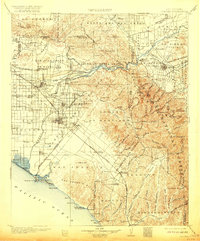
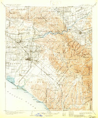
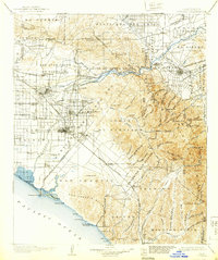
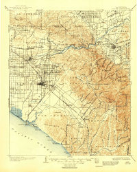
The Santa Ana River carves a central path through this Southern California landscape, flowing from the Canyon de Santa Ana toward the coastal plains. At the turn of the century, the region was defined by a complex network of irrigation and industry, seen in the Yorba Canal and California Canal that supported the emerging agricultural centers of Anaheim, Orange, and Fullerton. While the valleys were beginning to fill with settlements like Placentia and Garden Grove, the eastern reaches remained dominated by the high peaks of the Trabuco Canyon Forest Reserve. Here, extractive industry left its mark with the Santiago Coal Mine and another Coal Mine situated along the slopes. To the west, the Southern Pacific R.R. connects coastal towns like Newport Beach to the interior, passing through the ranching lands of the San Joaquin Hills and the sprawling Las Bolsas territory.
Find a feature on this map
131 named features on this map. Tap any name to fly to it.
Don’t see what you’re looking for? This feature index may not catch every label — zoom into the map to look around manually.
Map Details
Editions of this 1902 Corona Map
7 editions found
Other maps of this area

1894 · Los Angeles
USGS Topo · 1:62,500

1894 · Pomona
USGS Topo · 1:62,500

1896 · Santa Ana
USGS Topo · 1:62,500

1896 · Pasadena
USGS Topo · 1:62,500

1896 · Anaheim
USGS Topo · 1:62,500

1896 · San Bernardino
USGS Topo · 1:62,500

1896 · Las Bolsas
USGS Topo · 1:62,500

1896 · Downey
USGS Topo · 1:62,500

1897 · Pomona
USGS Topo · 1:62,500

1897 · Cucamonga
USGS Topo · 1:62,500