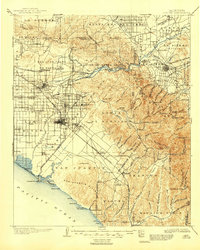
1902 Map of Corona
USGS Topo · Published 1946About this map
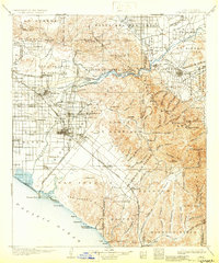
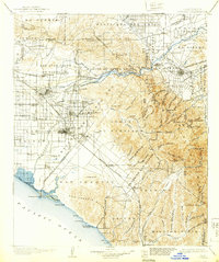
Santa Ana River flows from the canyon through a landscape defined by massive Spanish land grants and a rapidly expanding rail network. This late-Victorian era survey shows the agricultural transition of Orange County, with complex irrigation systems like the California Canal and the Orange and Santa Ana Canal supporting growing citrus hubs. Settlements such as Anaheim, Fullerton, and Santa Ana are clearly established on the valley floor, while the surrounding hills reveal earlier industrial efforts, including the Santiago Coal Mine and another Coal Mine in the Lomas de Santiago.
Find a feature on this map
135 named features on this map. Tap any name to fly to it.
Don’t see what you’re looking for? This feature index may not catch every label — zoom into the map to look around manually.
Map Details
Editions of this 1902 Corona Map
7 editions found

Other maps of this area

1894 · Los Angeles
USGS Topo · 1:62,500

1894 · Pomona
USGS Topo · 1:62,500

1896 · Santa Ana
USGS Topo · 1:62,500

1896 · Pasadena
USGS Topo · 1:62,500

1896 · Anaheim
USGS Topo · 1:62,500

1896 · San Bernardino
USGS Topo · 1:62,500

1896 · Las Bolsas
USGS Topo · 1:62,500

1896 · Downey
USGS Topo · 1:62,500

1897 · Pomona
USGS Topo · 1:62,500

1897 · Cucamonga
USGS Topo · 1:62,500