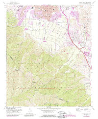
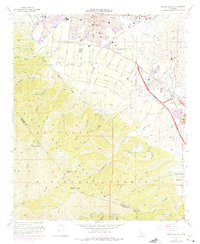
1967 Map of Corona South
USGS Topo · Published 1988About this map
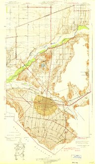
Corona and its surrounding citrus-belt landscape are documented during a period of significant suburban expansion in the late 1960s, with later updates showing the encroachment of residential development into the foothills. The city's organized grid is dense with educational institutions like Raney Jr High Sch and Eucalyptus Sch, while its northern edge is defined by the Atchison Topeka and Santa Fe railroad. To the south, the terrain rises sharply into the Cleveland National Forest, where deep drainages like Tin Mine Canyon and Hagador Canyon cut through the mountains toward Pleasants Peak. Industrial and transit history is evidenced by the Butterfield Stage Sta Historical Marker near the Temescal Wash and a abandoned glass factory in the Temescal Valley, illustrating the shift from early stagecoach routes and manufacturing to a modernizing commuter corridor.
Find a feature on this map
52 named features on this map. Tap any name to fly to it.
Don’t see what you’re looking for? This feature index may not catch every label — zoom into the map to look around manually.
Map Details
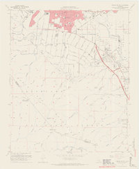
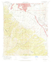
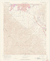
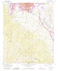
Editions of this 1967 Corona South Map
6 editions found
Other maps of this area

1901 · Southern California Sheet No. 1
USGS Topo · 1:250,000

1901 · Elsinore
USGS Topo · 1:125,000

1901 · Riverside
USGS Topo · 1:62,500

1902 · Corona
USGS Topo · 1:125,000

1904 · Southern California Sheet No. 1
USGS Topo · 1:250,000
1933 · Prado
USGS Topo · 1:31,680

1935 · El Toro
USGS Topo · 1:31,680
1941 · Prado
USGS Topo · 1:31,680

1942 · Lake Elsinore
USGS Topo · 1:62,500
1942 · Corona and Vicinity
USGS Topo · 1:31,680