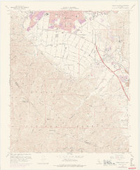
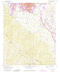
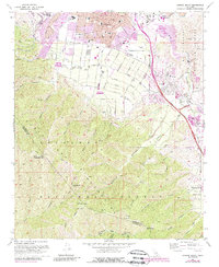
1967 Map of Corona South
USGS Topo · Published 1975About this map
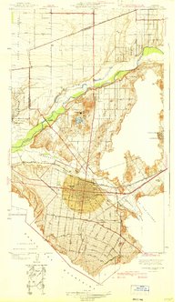
Corona sits at the northern edge of this mid-century landscape, showing a period of significant suburban expansion and industrial transition. To the south, the terrain climbs sharply into the Santa Ana Mountains and the Cleveland National Forest, where the topography is defined by dozens of steep drainages like Hagador Canyon and Joseph Canyon. The presence of the Butterfield Stage Historical Marker along the Corona Freeway corridor highlights the area's role as a long-standing transit route between the interior and the coast.
Find a feature on this map
66 named features on this map. Tap any name to fly to it.
Don’t see what you’re looking for? This feature index may not catch every label — zoom into the map to look around manually.
Map Details
Editions of this 1967 Corona South Map
6 editions found
Other maps of this area

1901 · Southern California Sheet No. 1
USGS Topo · 1:250,000

1901 · Elsinore
USGS Topo · 1:125,000

1901 · Riverside
USGS Topo · 1:62,500

1902 · Corona
USGS Topo · 1:125,000

1904 · Southern California Sheet No. 1
USGS Topo · 1:250,000
1933 · Prado
USGS Topo · 1:31,680

1935 · El Toro
USGS Topo · 1:31,680
1941 · Prado
USGS Topo · 1:31,680

1942 · Lake Elsinore
USGS Topo · 1:62,500
1942 · Corona and Vicinity
USGS Topo · 1:31,680