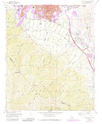
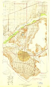
1967 Map of Corona South
USGS Topo · Published 1984About this map
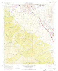
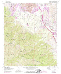
The northern foothills of the Santa Ana Mountains meet the urban expansion of Corona in this landscape, where the traditional agricultural and mining roots of Riverside County are increasingly overlaid by mid-century suburban development. Residential neighborhoods reach toward the peaks of Pleasants Peak and Bedford Peak, while the canyon-riddled slopes of the Cleveland National Forest maintain their wilderness character. Local transit and industry are anchored by the Atchison Topeka and Santa Fe and the Pacific Electric lines, which skirt the edge of the Sierra hills. Historical layers are visible in landmarks like the Butterfield Stage Sta Historical Marker and the Tin Mine tucked into the canyons west of Hagador Canyon. The map meticulously details the educational infrastructure of the era, from Corona High Sch to several neighborhood elementary schools like Jefferson Sch and Garretson Sch.
Find a feature on this map
56 named features on this map. Tap any name to fly to it.
Don’t see what you’re looking for? This feature index may not catch every label — zoom into the map to look around manually.
Map Details
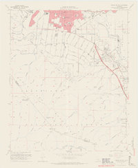
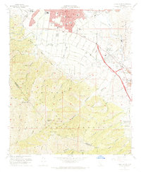
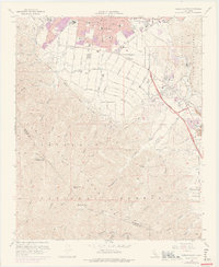
Editions of this 1967 Corona South Map
6 editions found
Other maps of this area

1901 · Southern California Sheet No. 1
USGS Topo · 1:250,000

1901 · Elsinore
USGS Topo · 1:125,000

1901 · Riverside
USGS Topo · 1:62,500

1902 · Corona
USGS Topo · 1:125,000

1904 · Southern California Sheet No. 1
USGS Topo · 1:250,000
1933 · Prado
USGS Topo · 1:31,680

1935 · El Toro
USGS Topo · 1:31,680
1941 · Prado
USGS Topo · 1:31,680

1942 · Lake Elsinore
USGS Topo · 1:62,500
1942 · Corona and Vicinity
USGS Topo · 1:31,680