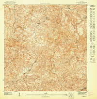
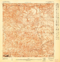
1947 Map of Corozal SE
USGS Topo · Published 1947About this map
The Montañas de Corozal dominate this 1943 topographic survey, revealing a landscape defined by sharp elevation changes and a dense network of mountain streams. This preliminary map captures the interior of Puerto Rico at a scale of 1:10,000, offering a granular look at the intricate drainages of the Río Grande de Manatí and its tributaries, including the Rio de los Negros and Quebrada Manatí. The high-resolution contour lines illustrate the vertical complexity of the region as it was documented by Orlando R. Méndez and the Department of the Interior. Political boundaries are meticulously plotted where the Municipio de Corozal, Municipio de Naranjito, and Municipio de Comerio meet, providing a rare technical record of these municipal borders before mid-century development altered the rural character of the highlands.
Find a feature on this map
8 named features on this map. Tap any name to fly to it.
Don’t see what you’re looking for? This feature index may not catch every label — zoom into the map to look around manually.
Map Details
Editions of this 1947 Corozal SE Map
This is the sole edition of this map. No revisions or reprints were ever made.
Other maps of this area

1946 · Corozal
USGS Topo · 1:30,000

1946 · Barranquitas
USGS Topo · 1:30,000

1946 · Comerio
USGS Topo · 1:30,000

1946 · Naranjito
USGS Topo · 1:30,000

1947 · Corozal SO
USGS Topo · 1:10,000
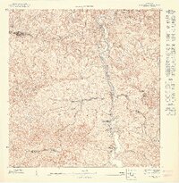
1947 · Naranjito SO
USGS Topo · 1:10,000

1947 · Corozal NO
USGS Topo · 1:10,000
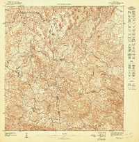
1947 · Corozal NE
USGS Topo · 1:10,000
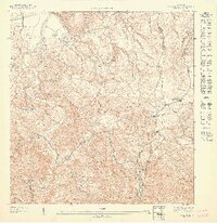
1947 · Naranjito NO
USGS Topo · 1:10,000
1947 · Barranquitas NE
USGS Topo · 1:10,000
Featured Places
- Los Pelusa, Naranjito
- La Sabana, Naranjito
- Sector Pepe Morales, Naranjito
- Comunidad Santa Teresita, Naranjito
- Rito I y II, Naranjito