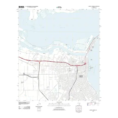
2010 Map of Corpus Christi
USGS Topo · Published 2010About this map
Corpus Christi serves as the focal point of this coastal survey, where the city’s dense street grid meets the expansive waters of Nueces Bay and Corpus Christi Bay. The landscape is a complex intersection of industry and history, anchored by the Joe Fulton Corridor and Navigation Blvd which trace the northern industrial waterfront. For genealogists, the map is remarkably detailed in its recording of local burial grounds, including the historic Old Bayview Cemetery near the shoreline and the larger Holly Cross Cemetery and Rose Hill Cemetery complexes further inland.
Find a feature on this map
52 named features on this map. Tap any name to fly to it.
Don’t see what you’re looking for? This feature index may not catch every label — zoom into the map to look around manually.
Map Details
Editions of this 2010 Corpus Christi Map
This is the sole edition of this map. No revisions or reprints were ever made.
Other maps of this area

1924 · Petronilla
USGS Topo · 1:62,500

1925 · Robstown
USGS Topo · 1:62,500

1925 · Oso Creek
USGS Topo · 1:62,500

1925 · Corpus Christi
USGS Topo · 1:62,500

1950 · Corpus Christi
USGS Topo · 1:250,000

1951 · Portland
USGS Topo · 1:24,000

1951 · Corpus Christi
USGS Topo · 1:24,000

1951 · Corpus Christi
USGS Topo · 1:62,500

1951 · Oso Creek NW
USGS Topo · 1:24,000

1951 · Oso Creek NE
USGS Topo · 1:24,000