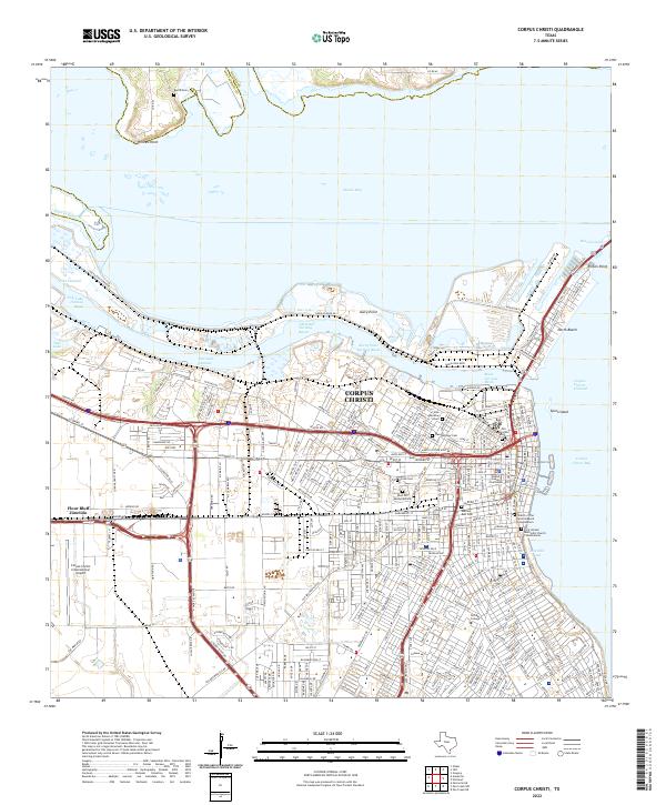
2022 Map of Corpus Christi
USGS Topo · Published 2022About this map
Corpus Christi serves as the focal point of this 2022 survey, illustrating the complex intersection of deep-water maritime industry and urban settlement. The landscape is defined by the massive industrial engineering of the Corpus Christi Channel and a series of specialized basins including the Chemical Turning Basin, Avery Point Turning Basin, and Main Turning Basin. These waterways facilitate access to the Viola Channel and Tule Lake, marking the transition from open Corpus Christi Bay to the inland shipping corridors.
Find a feature on this map
307 named features on this map. Tap any name to fly to it.
Don’t see what you’re looking for? This feature index may not catch every label — zoom into the map to look around manually.
Map Details
Editions of this 2022 Corpus Christi Map
This is the sole edition of this map. No revisions or reprints were ever made.
Other maps of this area

1924 · Petronilla
USGS Topo · 1:62,500

1925 · Robstown
USGS Topo · 1:62,500

1925 · Oso Creek
USGS Topo · 1:62,500

1925 · Corpus Christi
USGS Topo · 1:62,500

1950 · Corpus Christi
USGS Topo · 1:250,000

1951 · Portland
USGS Topo · 1:24,000

1951 · Corpus Christi
USGS Topo · 1:24,000

1951 · Corpus Christi
USGS Topo · 1:62,500

1951 · Oso Creek NW
USGS Topo · 1:24,000

1951 · Oso Creek NE
USGS Topo · 1:24,000