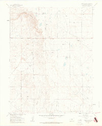
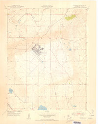
1961 Map of Corral Bluffs
USGS Topo · Published 1963About this map
The dramatic escarpment of Corral Bluffs dominates this high-plains landscape east of Colorado Springs in the early 1960s. This survey records a transition from traditional ranching to industrial activity, as evidenced by the namesake Corral Bluffs sheltering numerous family-run operations such as the Flying Lazy S Ranch, Mitchell Ranch, and the W B Livestock Company. A significant historical layer is visible in the southwest, where the Old Railroad Grade and Blaney Road trace the paths of commerce that once supported the coal extraction at the Franceville Mine. The presence of a Strip Mine and scattered Gravel Pits alongside active watercourses like Williams Creek and Chico Creek reflects the region's mid-century economic diversity, balancing pastoral livestock production with the extraction of local geological resources.
Find a feature on this map
24 named features on this map. Tap any name to fly to it.
Don’t see what you’re looking for? This feature index may not catch every label — zoom into the map to look around manually.
Map Details
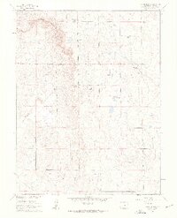
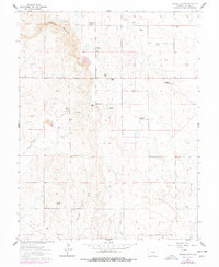
Editions of this 1961 Corral Bluffs Map
3 editions found
Other maps of this area

1893 · Big Springs
USGS Topo · 1:125,000

1893 · Colorado Springs
USGS Topo · 1:125,000

1909 · Colorado Springs
USGS Topo · 1:125,000

1942 · Colorado Springs
USGS Topo · 1:125,000

1948 · Falcon
USGS Topo · 1:24,000

1948 · Fountain
USGS Topo · 1:24,000

1948 · Falcon
USGS Topo · 1:62,500
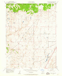
1948 · Falcon NW
USGS Topo · 1:24,000

1949 · Corral Bluffs
USGS Topo · 1:24,000
1950 · Elsmere
USGS Topo · 1:24,000