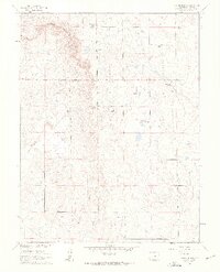
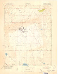
1961 Map of Corral Bluffs
USGS Topo · Published 1963About this map
The dramatic geological formation known as Corral Bluffs dominates this early 1960s El Paso County landscape, where the high plains meet sharp escarpments. This era of ranching is well-documented through a network of named properties including the Flying Lazy S Ranch, Mitchell Ranch, and the W B Livestock Company, illustrating a period when large-scale cattle operations shaped the regional economy. Industrial activity is concentrated on the western edge of the bluffs, where mining operations like the Franceville Mine and a Strip Mine are linked to the transportation history of an Old Railroad Grade. Water drainage patterns for the area are defined by Chico Creek and Williams Creek, which cut through the lower elevations below the bluffs. Local transportation is represented by early alignments of Drennan Road and Blaney Road, providing essential access for the scattered ranching families of the Colorado high desert.
Find a feature on this map
24 named features on this map. Tap any name to fly to it.
Don’t see what you’re looking for? This feature index may not catch every label — zoom into the map to look around manually.
Map Details
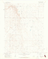
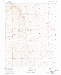
Editions of this 1961 Corral Bluffs Map
3 editions found
Other maps of this area

1893 · Big Springs
USGS Topo · 1:125,000

1893 · Colorado Springs
USGS Topo · 1:125,000

1909 · Colorado Springs
USGS Topo · 1:125,000

1942 · Colorado Springs
USGS Topo · 1:125,000

1948 · Falcon
USGS Topo · 1:24,000

1948 · Fountain
USGS Topo · 1:24,000

1948 · Falcon
USGS Topo · 1:62,500
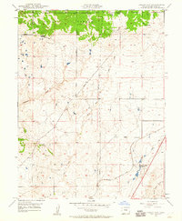
1948 · Falcon NW
USGS Topo · 1:24,000

1949 · Corral Bluffs
USGS Topo · 1:24,000
1950 · Elsmere
USGS Topo · 1:24,000