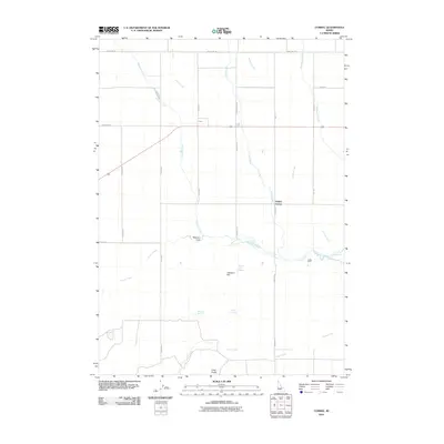
2010 Map of Corral
USGS Topo · Published 2010About this map
Camas Creek meanders through this portion of the Camas Prairie, providing a hydrological anchor for a landscape defined by ranching and small agricultural hubs. The small settlement of Corral sits at the northern end of the map, while Punkin Corner serves as a local landmark further south. The topography is relatively level, broken by features such as Johnson Hill and the drainage of Long Gulch.
Find a feature on this map
31 named features on this map. Tap any name to fly to it.
Don’t see what you’re looking for? This feature index may not catch every label — zoom into the map to look around manually.
Map Details
Editions of this 2010 Corral Map
This is the sole edition of this map. No revisions or reprints were ever made.
Other maps of this area

1892 · Camas Prairie
USGS Topo · 1:125,000

1893 · Camas Prairie
USGS Topo · 1:125,000

1955 · Hailey
USGS Topo · 1:250,000

1957 · Fairfield
USGS Topo · 1:62,500

1957 · Davis Mountain
USGS Topo · 1:62,500

1958 · King Hill
USGS Topo · 1:62,500

1959 · Hailey
USGS Topo · 1:250,000

1962 · Hailey
USGS Topo · 1:250,000

1963 · Deer Mountain
USGS Topo · 1:24,000

1963 · Hill City
USGS Topo · 1:24,000