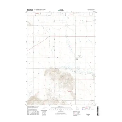
2017 Map of Corral
USGS Topo · Published 2017About this map
Camas Prairie dominates this Idaho landscape, where the wide agricultural basin meets the rising slopes of the Bennett Hills to the south. The settlement of Corral serves as a central point for the surrounding ranches, connected by a network of rural roads such as Harrison RD and Wilson LN. The area's water management is evident through the winding course of Camas Creek and its many tributaries, including Corral Cr and Lansing Cr. To the south, the terrain becomes more varied around Johnson Hill, punctuated by remote water sources like Broken Tank Spring and Leahy Spring. The small landing strip at Camas Creek Ranch Airport and the intersection at Punkin Corner reflect the aviation and transit needs of this localized cattle-ranching and farming community.
Find a feature on this map
39 named features on this map. Tap any name to fly to it.
Don’t see what you’re looking for? This feature index may not catch every label — zoom into the map to look around manually.
Map Details
Editions of this 2017 Corral Map
This is the sole edition of this map. No revisions or reprints were ever made.
Other maps of this area

1892 · Camas Prairie
USGS Topo · 1:125,000

1893 · Camas Prairie
USGS Topo · 1:125,000

1955 · Hailey
USGS Topo · 1:250,000

1957 · Fairfield
USGS Topo · 1:62,500

1957 · Davis Mountain
USGS Topo · 1:62,500

1958 · King Hill
USGS Topo · 1:62,500

1959 · Hailey
USGS Topo · 1:250,000

1962 · Hailey
USGS Topo · 1:250,000

1963 · Deer Mountain
USGS Topo · 1:24,000

1963 · Hill City
USGS Topo · 1:24,000