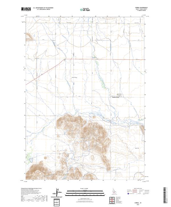
2024 Map of Corral
USGS Topo · Published 2024About this map
Camas Prairie defines the northern reaches of this Idaho landscape, where a network of rural roads like Harrison Rd and Wolf Ln grid the agricultural flats. This modern survey illustrates the transition from the level prairie floor to the rising topography of the Mount Bennett Hills in the south. The area is marked by a complex drainage system feeding into Camas Creek, including numerous seasonal flows such as Chimney Creek and Lansing Creek.
Find a feature on this map
47 named features on this map. Tap any name to fly to it.
Don’t see what you’re looking for? This feature index may not catch every label — zoom into the map to look around manually.
Map Details
Editions of this 2024 Corral Map
This is the sole edition of this map. No revisions or reprints were ever made.
Other maps of this area

1892 · Camas Prairie
USGS Topo · 1:125,000

1893 · Camas Prairie
USGS Topo · 1:125,000

1955 · Hailey
USGS Topo · 1:250,000

1957 · Fairfield
USGS Topo · 1:62,500

1957 · Davis Mountain
USGS Topo · 1:62,500

1958 · King Hill
USGS Topo · 1:62,500

1959 · Hailey
USGS Topo · 1:250,000

1962 · Hailey
USGS Topo · 1:250,000

1963 · Deer Mountain
USGS Topo · 1:24,000

1963 · Hill City
USGS Topo · 1:24,000