
1973 Map of Corral Lake
USGS Topo · Published 1977About this map
Corral Lake Butte dominates this high-elevation landscape of Elko County, photographed in 1972 and field-checked just before publication. This area is defined by its water management and livestock infrastructure, featuring the Corral Lake Reservoir and a nearby Water Tank connected by a network of unimproved roads and a Jeep Trail. The drainage of Wolf Creek flows across the southern portion of the sheet, providing a vital source in an otherwise arid basin. A unique mapping detail includes fine red dashed lines that indicate selected fence lines, a feature often omitted in more urban surveys, which here provides a record of land use and rangeland boundaries in this corner of Nevada during the 1970s.
Find a feature on this map
6 named features on this map. Tap any name to fly to it.
Don’t see what you’re looking for? This feature index may not catch every label — zoom into the map to look around manually.
Map Details
Editions of this 1973 Corral Lake Map
This is the sole edition of this map. No revisions or reprints were ever made.
Other maps of this area

1955 · McDermitt
USGS Topo · 1:250,000

1959 · McDermitt
USGS Topo · 1:250,000

1973 · McCleary Wells
USGS Topo · 1:24,000

1973 · Star Valley Ridge SW
USGS Topo · 1:24,000

1973 · Button Lake Well
USGS Topo · 1:24,000

1973 · Twelvemile Flat
USGS Topo · 1:24,000
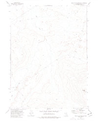
1973 · Star Valley Ridge SE
USGS Topo · 1:24,000

1973 · Humboldt Hill
USGS Topo · 1:24,000

1974 · Winters Ranch Reservoir
USGS Topo · 1:24,000
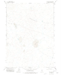
1977 · Silver Lake
USGS Topo · 1:24,000