1973 Map of Star Valley Ridge SE
USGS Topo · Published 1977About this map
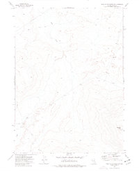
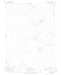
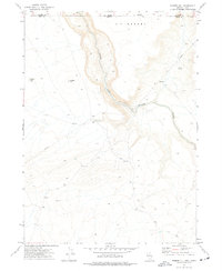
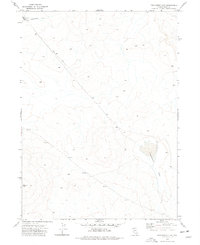
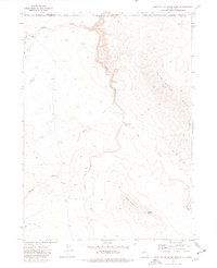
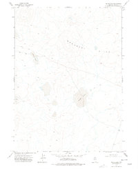
Lake Creek meanders through this portion of Elko County, defining the drainage patterns of a landscape marked by significant topographic relief in the early 1970s. The presence of a prominent Pipeline and several Jeep Trails cutting across the terrain suggests the importance of resource management and rural utility access during this era. A local landmark, Bartome Knoll, rises in the southeast corner, providing a fixed reference point for surveying and navigation in this high-desert environment. The map captures the infrastructure of the Nevada backcountry just before the mid-1970s, illustrating the sparse but deliberate network of trails and utility lines that supported remote land use and regional transit.
Find a feature on this map
4 named features on this map. Tap any name to fly to it.
Don’t see what you’re looking for? This feature index may not catch every label — zoom into the map to look around manually.
Map Details
Editions of this 1973 Star Valley Ridge SE Map
This is the sole edition of this map. No revisions or reprints were ever made.
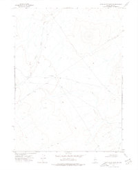
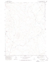
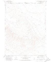
Other maps of this area

1955 · McDermitt
USGS Topo · 1:250,000

1959 · McDermitt
USGS Topo · 1:250,000
1973 · Star Valley Ridge SW
USGS Topo · 1:24,000
1973 · Button Lake Well
USGS Topo · 1:24,000
1973 · Star Valley Ridge East
USGS Topo · 1:24,000
1973 · Corral Lake
USGS Topo · 1:24,000
1973 · Rubber Hill
USGS Topo · 1:24,000
1973 · Twelvemile Flat
USGS Topo · 1:24,000
1973 · Star Valley Ridge West
USGS Topo · 1:24,000
1977 · Silver Lake
USGS Topo · 1:24,000