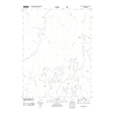
2011 Map of Corral Peaks
USGS Topo · Published 2011About this map
Wheatley Ranch and the East Fork Cow Camp represent the high-country ranching tradition in this 2011 survey of Grand County. The landscape is defined by the headwaters of the East Fork Troublesome Creek, which flows past landmarks like Hay Park and Cliff Gulch. The presence of the Scholl Reservoir and the Musgrave Ditch illustrates the vital role of water management in this arid mountain environment, where snowmelt is captured and redirected to support agriculture and livestock below.
Find a feature on this map
32 named features on this map. Tap any name to fly to it.
Don’t see what you’re looking for? This feature index may not catch every label — zoom into the map to look around manually.
Map Details
Editions of this 2011 Corral Peaks Map
This is the sole edition of this map. No revisions or reprints were ever made.
Other maps of this area

1954 · Craig
USGS Topo · 1:250,000

1956 · Radial Mountain
USGS Topo · 1:24,000

1956 · Kremmling
USGS Topo · 1:62,500

1956 · Parkview Mountain
USGS Topo · 1:24,000

1956 · Hyannis Peak
USGS Topo · 1:24,000

1956 · Hyannis Peak
USGS Topo · 1:62,500

1956 · Rand
USGS Topo · 1:62,500

1957 · Craig
USGS Topo · 1:250,000

1957 · Hot Sulphur Springs
USGS Topo · 1:62,500

1958 · Craig
USGS Topo · 1:250,000