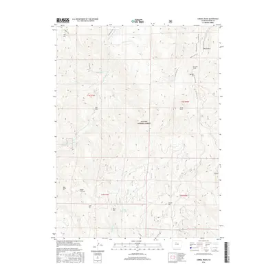
2016 Map of Corral Peaks
USGS Topo · Published 2016About this map
Arapaho National Forest defines the character of this Grand County high-country landscape, where the peaks of the Front Range dominate the drainage patterns of the Colorado River basin. The terrain is marked by significant summits, including Corral Peaks, Searight Mtn, and Slide Mtn, which overlook deep-cut ravines like Cliff Gulch and Paradise Gulch. Water management is evident through features like the Scholl Reservoir and the Musgrave Ditch, indicating the vital role of irrigation and storage in this alpine environment.
Find a feature on this map
38 named features on this map. Tap any name to fly to it.
Don’t see what you’re looking for? This feature index may not catch every label — zoom into the map to look around manually.
Map Details
Editions of this 2016 Corral Peaks Map
This is the sole edition of this map. No revisions or reprints were ever made.
Other maps of this area

1954 · Craig
USGS Topo · 1:250,000

1956 · Radial Mountain
USGS Topo · 1:24,000

1956 · Kremmling
USGS Topo · 1:62,500

1956 · Parkview Mountain
USGS Topo · 1:24,000

1956 · Hyannis Peak
USGS Topo · 1:24,000

1956 · Hyannis Peak
USGS Topo · 1:62,500

1956 · Rand
USGS Topo · 1:62,500

1957 · Craig
USGS Topo · 1:250,000

1957 · Hot Sulphur Springs
USGS Topo · 1:62,500

1958 · Craig
USGS Topo · 1:250,000