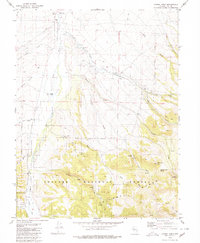
1979 Map of Corral Wash
USGS Topo · Published 1980About this map
The Reese River flows through the heart of this high-desert landscape in Nye County, marking a vital water source for the Yomba Indian Reservation. This 1970s survey captures the intersection of indigenous land and federal management, showing the Yomba Sch, a local Cem, and the Reese River Ranger Station along the valley floor. The settlement pattern is sparse, defined by remote outposts like Keough Ranch and the small cluster at Corral.
Find a feature on this map
37 named features on this map. Tap any name to fly to it.
Don’t see what you’re looking for? This feature index may not catch every label — zoom into the map to look around manually.
Map Details
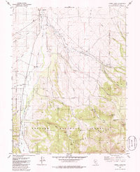
Editions of this 1979 Corral Wash Map
2 editions found
Other maps of this area

1907 · Tonopah
USGS Topo · 1:250,000

1908 · Tonopah
USGS Topo · 1:250,000

1948 · Ione
USGS Topo · 1:62,500

1950 · Ione
USGS Topo · 1:62,500

1955 · Millett
USGS Topo · 1:250,000

1956 · South Shoshone Peak
USGS Topo · 1:62,500

1956 · North Shoshone Peak
USGS Topo · 1:62,500

1956 · Tonopah
USGS Topo · 1:250,000

1959 · Tonopah
USGS Topo · 1:250,000

1959 · Millett
USGS Topo · 1:250,000