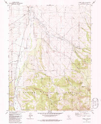
1979 Map of Corral Wash
USGS Topo · Published 1986About this map
Yomba Indian Reservation occupies much of this high-desert basin, where the Reese River flows northward between the Shoshone Mountains and the Toiyabe National Forest. This late 1970s environment is characterized by ranching outposts and institutional sites like the Reese River Ranger Station and Yomba Sch. Local geography is defined by numerous drainage washes and canyons named for early settlers and topographical markers, including Spanish Ranch Canyon, Mitchel Canyon, and Patsy Canyon. Evidence of community life is found at the Cem and Keough Ranch, while high-elevation points such as Mahogany Mtn overlook a landscape of seasonal hydrology, where features like YIR Spring and Sand Wash carve through the arid terrain.
Find a feature on this map
35 named features on this map. Tap any name to fly to it.
Don’t see what you’re looking for? This feature index may not catch every label — zoom into the map to look around manually.
Map Details
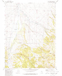
Editions of this 1979 Corral Wash Map
2 editions found
Other maps of this area

1907 · Tonopah
USGS Topo · 1:250,000

1908 · Tonopah
USGS Topo · 1:250,000

1948 · Ione
USGS Topo · 1:62,500

1950 · Ione
USGS Topo · 1:62,500

1955 · Millett
USGS Topo · 1:250,000

1956 · South Shoshone Peak
USGS Topo · 1:62,500

1956 · North Shoshone Peak
USGS Topo · 1:62,500

1956 · Tonopah
USGS Topo · 1:250,000

1959 · Tonopah
USGS Topo · 1:250,000

1959 · Millett
USGS Topo · 1:250,000