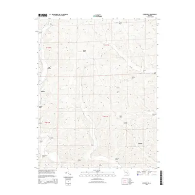
2015 Map of Corridon SE
USGS Topo · Published 2015About this map
Logan Cr winds through the deeply dissected terrain of Reynolds County, defining a landscape where narrow valleys and high ridges dictate the pattern of human settlement. Small communities like Dagonia, Fruit City, and Bedwell are situated along the lower elevations, connected by a network of county roads including CR-752 and CR-710. The prevalence of family-named landmarks and multiple burial grounds, such as Sutterfield Cemetery, Nuckols Cemetery, and Chitwood Cemetery, provides significant documentation for those tracing local lineages in this part of the Ozarks.
Find a feature on this map
51 named features on this map. Tap any name to fly to it.
Don’t see what you’re looking for? This feature index may not catch every label — zoom into the map to look around manually.
Map Details
Editions of this 2015 Corridon SE Map
This is the sole edition of this map. No revisions or reprints were ever made.
Other maps of this area

1928 · Cardareva
USGS Topo · 1:62,500

1943 · Ellington
USGS Topo · 1:62,500

1943 · Lesterville
USGS Topo · 1:62,500

1944 · Corridon
USGS Topo · 1:62,500

1945 · Ellington
USGS Topo · 1:62,500

1946 · Lesterville
USGS Topo · 1:62,500

1947 · Corridon
USGS Topo · 1:62,500

1949 · Rolla
USGS Topo · 1:250,000

1949 · Cardareva
USGS Topo · 1:62,500

1953 · Rolla
USGS Topo · 1:250,000