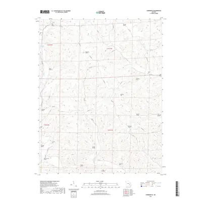
2017 Map of Corridon SE
USGS Topo · Published 2017About this map
Sutterfield Cem and Santhuff Cem sit among the high ridges and deep hollows of Reynolds County, marking the long-standing family ties to this corner of the Ozarks. The landscape is defined by an intricate network of drainage systems, including Logan Creek and numerous named hollows such as Snake Den Hollow and Which Church Hollow. These features, along with prominent heights like Panther Hill and Buzzard Hill, suggest a terrain that historically dictated the placement of homesteads and travel routes. Small springs like Joe Beck Spring provided essential water sources for earlier residents. Transportation relies on a web of local routes and old corridors like N Tram Rd and S Tram Rd, which likely reflect historical logging or industrial tracks that once moved timber through the valley. The map preserves the locations of several burial grounds, including the Chitwood Cem and Nuckols Cem, providing vital clues for genealogical research in this sparsely populated region.
Find a feature on this map
49 named features on this map. Tap any name to fly to it.
Don’t see what you’re looking for? This feature index may not catch every label — zoom into the map to look around manually.
Map Details
Editions of this 2017 Corridon SE Map
This is the sole edition of this map. No revisions or reprints were ever made.
Other maps of this area

1928 · Cardareva
USGS Topo · 1:62,500

1943 · Ellington
USGS Topo · 1:62,500

1943 · Lesterville
USGS Topo · 1:62,500

1944 · Corridon
USGS Topo · 1:62,500

1945 · Ellington
USGS Topo · 1:62,500

1946 · Lesterville
USGS Topo · 1:62,500

1947 · Corridon
USGS Topo · 1:62,500

1949 · Rolla
USGS Topo · 1:250,000

1949 · Cardareva
USGS Topo · 1:62,500

1953 · Rolla
USGS Topo · 1:250,000