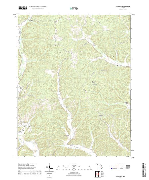
2021 Map of Corridon SE
USGS Topo · Published 2021About this map
Sutterfield Cem and Neely Cem anchor the western edge of this Ozark plateau landscape, where the Shannon and Reynolds County line cuts through a series of deeply carved hollows. The terrain is defined by the winding course of Logan Cr and the waters of Joe Beck Spring, with travel routes such as N Tram Rd and S Tram Rd hinting at the area's timber history.
Find a feature on this map
46 named features on this map. Tap any name to fly to it.
Don’t see what you’re looking for? This feature index may not catch every label — zoom into the map to look around manually.
Map Details
Editions of this 2021 Corridon SE Map
This is the sole edition of this map. No revisions or reprints were ever made.
Other maps of this area

1928 · Cardareva
USGS Topo · 1:62,500

1943 · Ellington
USGS Topo · 1:62,500

1943 · Lesterville
USGS Topo · 1:62,500

1944 · Corridon
USGS Topo · 1:62,500

1945 · Ellington
USGS Topo · 1:62,500

1946 · Lesterville
USGS Topo · 1:62,500

1947 · Corridon
USGS Topo · 1:62,500

1949 · Rolla
USGS Topo · 1:250,000

1949 · Cardareva
USGS Topo · 1:62,500

1953 · Rolla
USGS Topo · 1:250,000