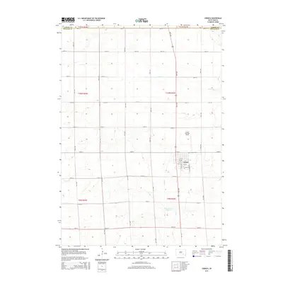
2015 Map of Corsica
USGS Topo · Published 2015About this map
Corsica serves as the central hub of this Douglas County landscape, situated near the intersection of a rigid section-line road grid. The town's layout includes a concentrated residential and commercial core, with prominent thoroughfares like S Dakota Ave and S Napolean Ave leading toward local landmarks such as Graceland Cem. To the north of the town center, the Corsica Municipal Airport marks a modern utility in this agricultural region, while the surrounding plains are drained by intermittent watercourses like Chateau Cr and Andes Cr.
Find a feature on this map
37 named features on this map. Tap any name to fly to it.
Don’t see what you’re looking for? This feature index may not catch every label — zoom into the map to look around manually.
Map Details
Editions of this 2015 Corsica Map
This is the sole edition of this map. No revisions or reprints were ever made.
Other maps of this area

1899 · Mitchell
USGS Topo · 1:125,000

1955 · Mitchell
USGS Topo · 1:250,000

1959 · Mitchell
USGS Topo · 1:250,000

1979 · Geddes SE
USGS Topo · 1:24,000

1979 · New Holland
USGS Topo · 1:24,000
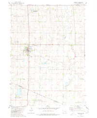
1979 · Armour
USGS Topo · 1:24,000

1979 · Aurora Center
USGS Topo · 1:24,000
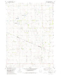
1979 · Armour SW
USGS Topo · 1:24,000

1980 · Stickney
USGS Topo · 1:24,000

1980 · Corsica Lake
USGS Topo · 1:24,000