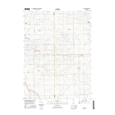
2016 Map of Corunna
USGS Topo · Published 2016About this map
Kendallville and its surrounding agricultural plains define this region of Northeast Indiana, where the landscape is intricately carved by glacial history. The township is characterized by a dense network of water bodies, ranging from large basins like Bixler Lake to smaller, isolated pools such as Lake Maxler and Little Whitford Lake. These features, along with drainage systems like McCullough Ditch and Diehl Ditch, illustrate the complex hydrology necessary for local farming.
Find a feature on this map
78 named features on this map. Tap any name to fly to it.
Don’t see what you’re looking for? This feature index may not catch every label — zoom into the map to look around manually.
Map Details
Editions of this 2016 Corunna Map
This is the sole edition of this map. No revisions or reprints were ever made.
Other maps of this area

1942 · Ashley
USGS Topo · 1:24,000

1942 · Stroh
USGS Topo · 1:24,000

1947 · Wolcottville
USGS Topo · 1:24,000

1953 · Fort Wayne
USGS Topo · 1:250,000

1955 · Corunna
USGS Topo · 1:24,000

1955 · Ege
USGS Topo · 1:24,000

1955 · Kendallville
USGS Topo · 1:24,000

1956 · Fort Wayne
USGS Topo · 1:250,000

1957 · Auburn
USGS Topo · 1:24,000

1957 · Waterloo
USGS Topo · 1:24,000